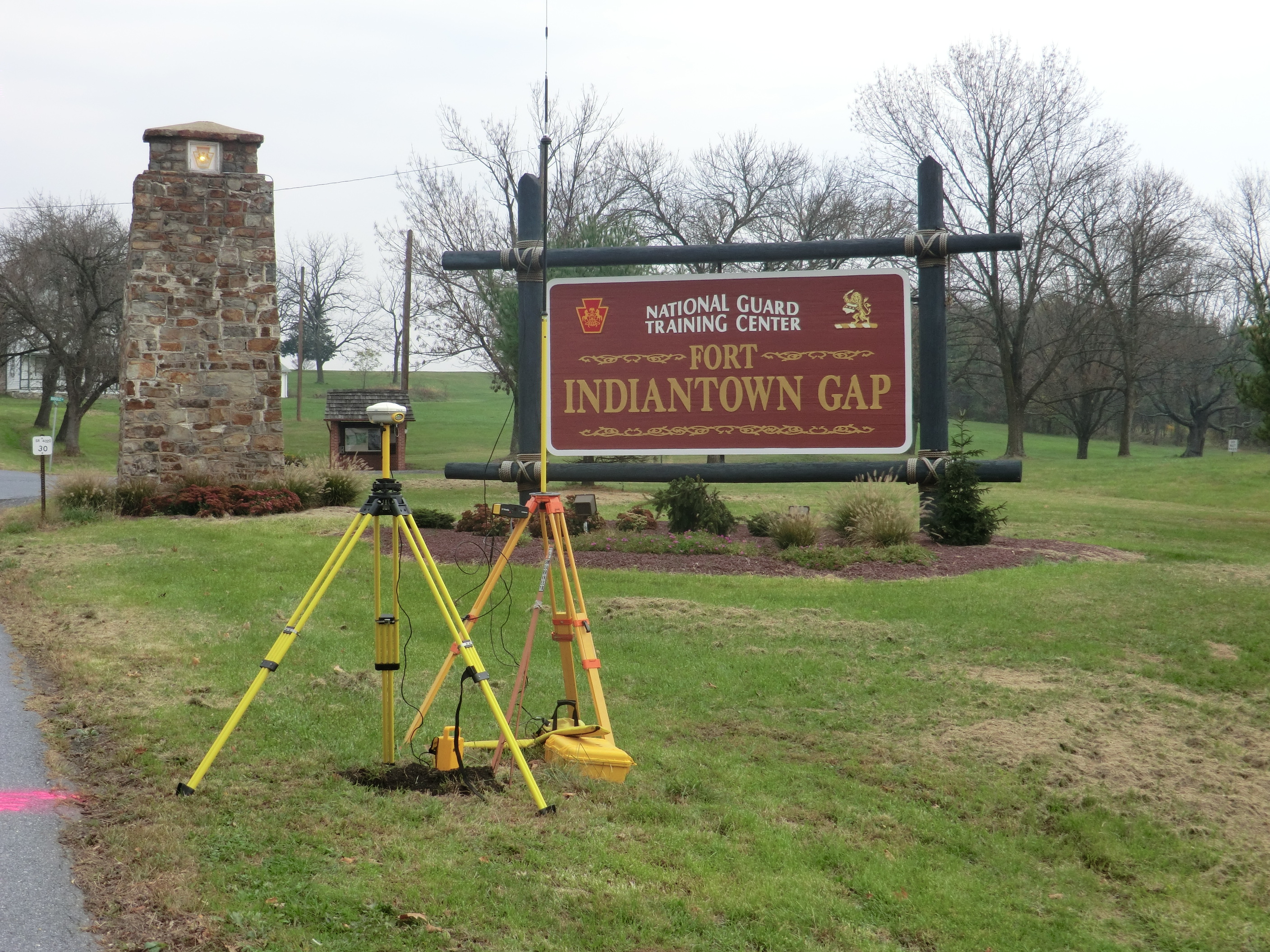
Navarro & Wright offers a broad range of land surveying and related services for federal, state, and private clients. We are dedicated to evaluating the newest survey technologies to better serve our clients. Precision and accuracy is vital and we work with each client to determine the scope of services and appropriate level of accuracy needed to meet the objectives of their specific project. Data collection can be in the form of GPS/conventional survey, aerial photogrammetry from a fixed wing/helicopter platform, or 3D laser scanning.
In instances where multiple data collection tools are utilized, N&W’s experienced staff are capable of providing a single homogenous dataset. The survey staff work closely with our engineers and architects for a better understanding of each discipline’s specific design needs. Our field and office personnel offer extensive experience, certified training, and flexibility to meet our clients’ project schedules.
Survey & Mapping services include:
- Geomatics Services
- 3D Laser Scanning
- LIDAR
- Utility Surveys
- Boundary Surveys
- Topographic Surveys
- ROW Plans and Deed Mosaics
- Hydrone
- C.I.C. Surveys
- Preliminary Plats and Final Plats
- Property and Easement Descriptions
- Land Title Surveys (ALTA/NSPS Requirements)
- Commercial, Industrial, Residential and Municipal Surveys
- Construction and Utility Staking
- 3-D/Vertical
- Control Surveys for Aerial Photography
- Sub-divisions
- Registered Land Surveys
- Campus Mapping
- As-Built Surveys
- Courthouse Research